
Weather
Milton is now forecast to become a Category 5 hurricane later today
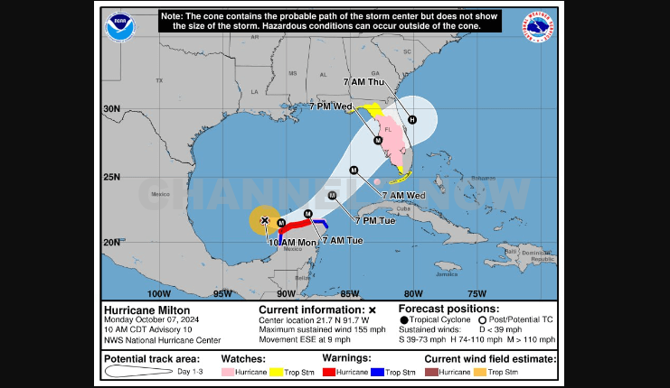
Hurricane Milton is on the brink of becoming a Category 5 hurricane. The northern Yucatán Peninsula, from Mérida to Cancún, should prepare for immediate and severe impacts as the storm passes just offshore.
Hurricane Milton has undergone an extraordinary intensification over the past 24 hours, increasing its wind speeds by a remarkable 90 miles per hour.
This rapid intensification is only surpassed by the record-breaking hurricanes Wilma (2005) and Felix (2007).
Milton is projected to become the second Category 5 hurricane of the season by this evening.
Given its increasing strength, preparations in Mexico should be finalized immediately to ensure the safety of residents and communities in the affected areas.
This is a developing story that will be updated when more information is available.


BLOOMINGTON, Ind. — Emergency responders are working multiple rescue calls after a confirmed tornado touched down west of Bloomington and moved directly toward the city, prompting urgent shelter warnings across the region.
The National Weather Service issued a Tornado Warning for Bloomington, Ellettsville, and Clear Creek until 7:30 p.m. EST, describing the situation as particularly dangerous.
The tornado was confirmed on the ground approximately eight miles west of Bloomington and moving east at an estimated 40 miles per hour.
Authorities report that multiple homes have sustained significant damage, with early indications that several individuals may be trapped inside residences impacted by the storm.
Emergency crews are actively conducting search and rescue operations in affected neighborhoods.
Communities directly in the projected path included Bloomington, Ellettsville, the campus of Indiana University Bloomington, Solsberry, and Whitehall.
Meteorologists warned that the storm was capable of producing destructive winds and hail up to the size of ping pong balls. Officials emphasized that the tornado posed a serious threat to life and property.
Residents in the warned area were urged to seek shelter immediately — preferably in a basement or on the lowest level of a sturdy structure, inside an interior room away from windows.
Authorities stressed not to delay action while waiting for visual confirmation of the tornado.
Emergency management officials continue to monitor the storm’s track and assess damage. Additional updates are expected as response efforts continue and more information becomes available.