Connect with us

Weather

Large and destructive tornado touchdown in Marion, Illinois

Published

on

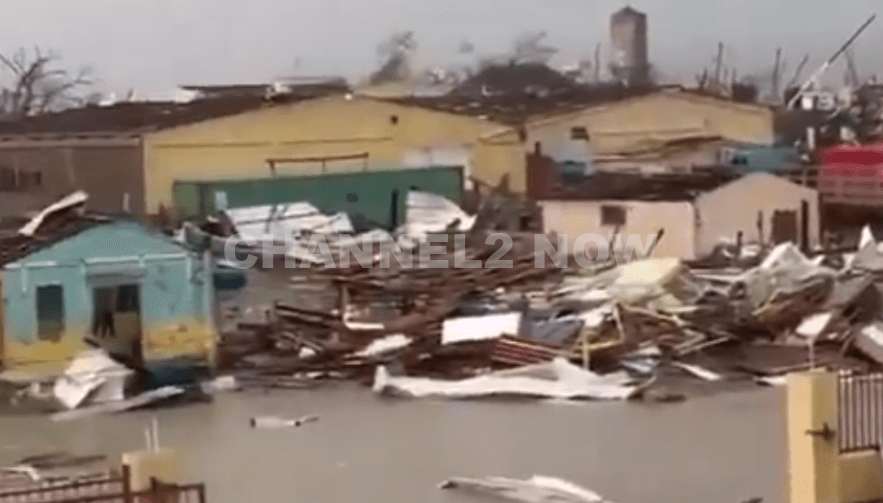
MARION, IL — A destructive tornado has been confirmed on the ground just south of Marion in southern Illinois, prompting urgent warnings from meteorologists and emergency officials.

A clearly defined debris ball has been observed on radar reflectivity, indicating that the tornado is actively causing damage and picking up debris.

The National Weather Service has issued a Tornado Warning in effect until 7:00 p.m. for Williamson County and eastern Jackson County, including the communities of Marion, Carbondale, Carterville, Crab Orchard, and Creal Springs.

Radar has indicated strong rotation and confirmed a large tornado on the ground, making this a Particularly Dangerous Situation (PDS).

In addition to the tornado threat, the storm is producing hail up to 2 inches in diameter, adding to the severe risk facing residents in the area.

Advertisement

Residents in the warned areas are strongly urged to seek shelter immediately in a basement or interior room away from windows.

This storm is extremely dangerous and capable of causing life-threatening damage.

The situation remains fluid as the storm moves rapidly across the region.

Emergency management and storm spotters are monitoring conditions closely, and additional warnings may be issued if the storm continues to track eastward.

Stay tuned to local news, weather radio, and trusted emergency sources for real-time updates.

Advertisement

Do not delay—take cover now if you are in the path of this storm.


Weather

State of Emergency declared in parts of New Jersey due to flash flooding

Published

on

NEW JERSEY – Torrential rainfall has triggered widespread flash flooding across northern New Jersey, leaving roadways submerged, traffic paralyzed, and numerous motorists stranded.

In response to the rapidly deteriorating conditions, Governor Phil Murphy declared a State of Emergency Monday evening at 7:33 p.m., urging residents to stay indoors and avoid unnecessary travel.

“Please stay indoors and avoid unnecessary travel. Stay safe, New Jersey,” Murphy wrote in a statement released on social media.

The flash flooding has severely impacted several major roadways, including:

  • Route 22: Entire sections of the highway were completely underwater, with numerous vehicles stalled in rising floodwaters. Emergency responders are on scene assisting trapped motorists.
  • New Jersey Turnpike: Near Newark, both northbound and southbound lanes experienced heavy flooding, resulting in lane closures and significant traffic delays. Some areas of the Turnpike are reported to be completely impassable as water levels continue to rise.

Residents described scenes of devastation, with roads transformed into rivers and entire neighborhoods inundated. Video footage from affected areas shows cars partially submerged, and water rushing through intersections and parking lots.

Officials have issued a strong warning: “Turn Around, Don’t Drown.” Flash flooding remains an active threat as more rain is forecast throughout the evening and into Tuesday.

Advertisement

Emergency management teams across the state are working to coordinate response efforts, deploy high-water rescue vehicles, and mitigate further flooding.

Despite the swift response, public reaction has been mixed, with some residents criticizing the timing and preparedness of local and state agencies.

One social media user remarked, “Don’t bother calling FEMA, nobody will answer,” reflecting growing frustration over emergency response delays.

The duration of the State of Emergency remains unclear, but officials stress that residents should continue to monitor official alerts, follow emergency guidance, and contact 2-1-1 for shelter assistance if displaced.

If you are experiencing a flood-related emergency, contact local authorities immediately.

Advertisement

This is a developing situation. More updates will follow as the weather event continues to unfold.


Continue Reading