
Weather
Tornado warning issued in Corbin, Kentucky

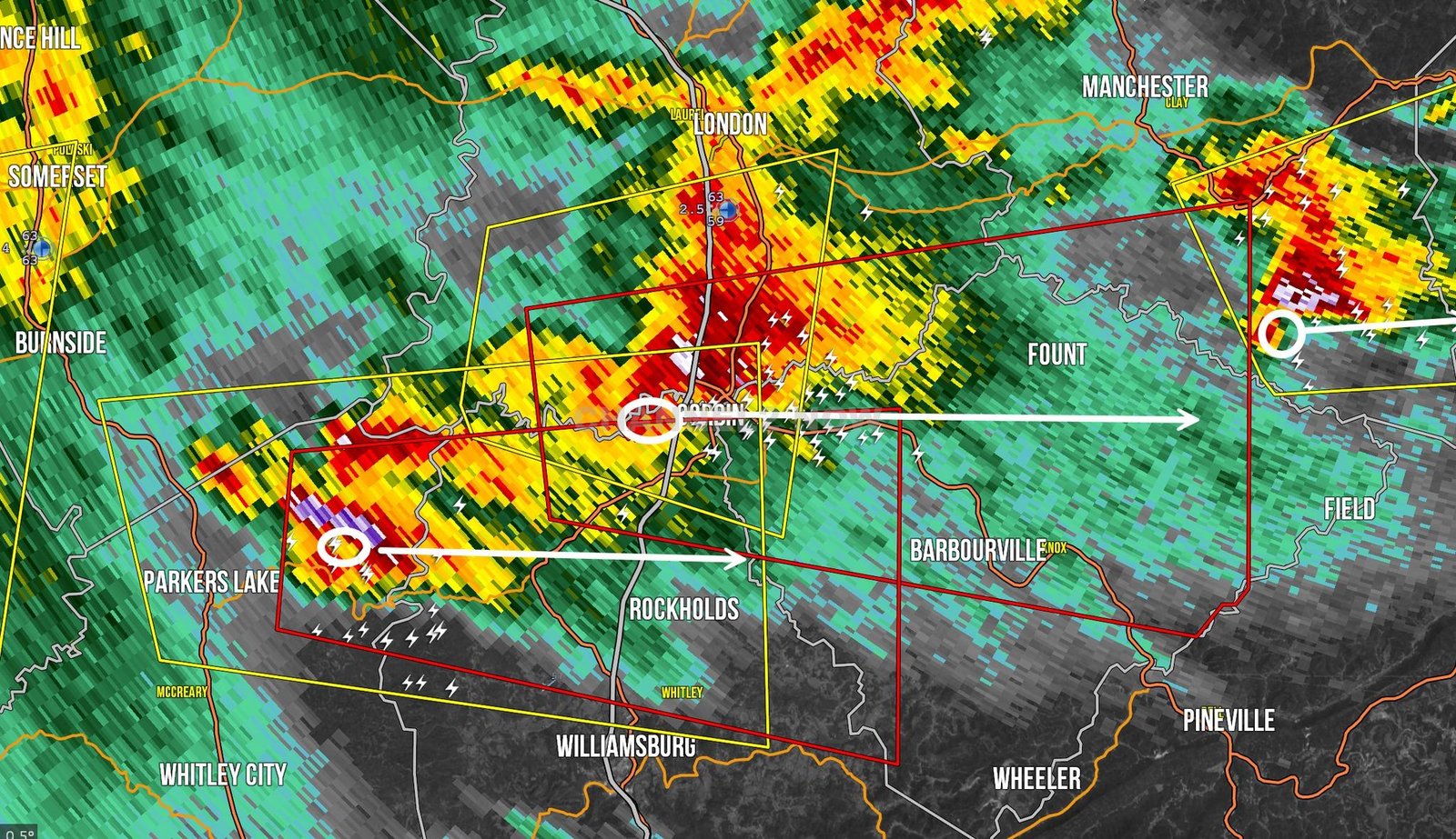
CORBIN, KY – A tornado warning has been issued for Corbin and Barbourville, Kentucky, as a dangerous supercell storm moves into the area.
The National Weather Service has confirmed an area of circulation entering Downtown Corbin, with another rotation detected southwest of the city.
If you are in Corbin, Barbourville, or surrounding areas, take cover immediately!
Tornado sirens are currently sounding in Corbin, and residents should seek immediate shelter in a basement or interior room on the lowest floor of a sturdy building.
This storm poses a serious threat to life and property.
Storm Details
- Tornado Warning in Effect: Until 7:45 PM EST
- Areas Impacted: Corbin, Barbourville, north of Williamsburg, and surrounding communities
- Current Status: A tornado-warned supercell is moving rapidly through the region
This tornado warning is just outside of some forecast areas, but residents in Corbin and southeastern Kentucky must remain alert and prepared.
Multiple tornado warnings remain active across southeastern Kentucky, including areas near Parkers Lake and Corbin.
If you have friends or family in the affected areas, contact them immediately and ensure they are seeking shelter.
For those without a safe place to take cover, a large basement is available for shelter—spread the word to those in need.
Stay safe, remain indoors, and monitor weather alerts closely. More updates will follow as the situation develops.






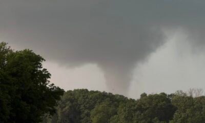





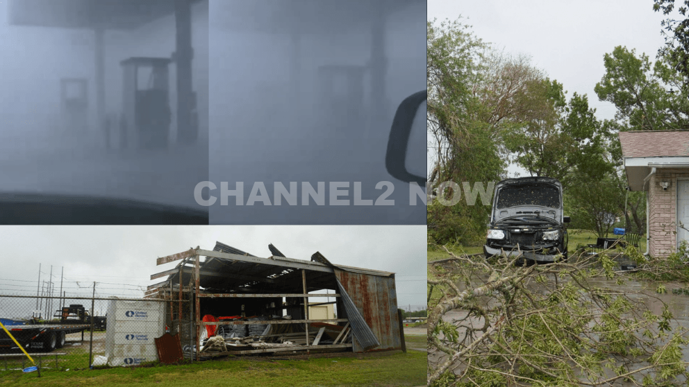
POINT COMFORT, Texas — Powerful thunderstorms swept across parts of the Texas Gulf Coast, producing extreme wind gusts that caused significant destruction in Point Comfort and surrounding areas, according to the National Weather Service (NWS).
A WeatherFlow HurrNet station recorded a peak wind gust of 119 miles per hour in Point Comfort, indicating a highly destructive wind event—likely a downburst associated with a line of severe thunderstorms that moved through the region.
Nearby communities also experienced intense conditions, with wind gusts reaching 77 mph in Palacios, Texas.
Widespread Storm Damage Reported
Preliminary reports indicate extensive damage stretching from near Coleto Creek Reservoir southeast through Point Comfort and toward Port O’Connor.
Residents and storm observers described scenes of severe impact consistent with extreme straight-line winds.
Reported damage includes:
- Downed power lines and widespread power outages across Point Comfort
- Large transmission towers toppled or severely damaged
- Trees uprooted or snapped at the base, with some falling onto homes
- Metal structures and roofing materials torn from buildings
- Vehicles, including trucks and boats, overturned by strong winds
- Billboards destroyed and outdoor infrastructure heavily damaged
One eyewitness described winds “easily exceeding 100 mph,” noting that debris, including large pieces of metal, was ripped from nearby buildings.
Additional reports suggest that a semi-truck parked at an industrial site was flipped, further underscoring the intensity of the wind event.
Possible Downburst Under Investigation
Meteorologists believe the damage pattern is consistent with a downburst, a powerful column of sinking air that spreads outward upon reaching the ground, producing intense and localized wind damage.
However, the National Weather Service has confirmed that a formal damage survey will be conducted to determine the exact cause.
Community Urged to Share Information
Officials are asking residents to submit photos, videos, and damage reports, including locations and estimated times, to assist with the ongoing assessment.
This information will help meteorologists better understand the storm’s impact and confirm whether the event was solely caused by straight-line winds or involved additional severe weather factors.
Ongoing Recovery Efforts
Emergency crews and utility workers are actively responding to restore power and clear debris as residents begin recovery efforts.
Authorities continue to urge caution in affected areas due to downed lines, unstable structures, and hazardous debris.
This severe weather event highlights the destructive potential of fast-moving thunderstorm systems and the importance of staying alert during rapidly changing weather conditions.